
Painesville Township ZIP Code Coverage
The confirmed local postal identity is 44077. Painesville Township identifies itself with a Painesville, Ohio 44077 address, and the same postal city and ZIP appear on County offices, the Recorder, the Board of Elections, and Morley Library. That shared mailing format is useful for an address check, but it does not merge the Township with the adjacent City of Painesville. The local public sources do not supply a complete Township-by-ZIP boundary table, so this postal reference separates verified facts from leads that require an address-specific check.
| ZIP code | Postal area named | Verified Township relationship | Record-use note |
|---|---|---|---|
| 44077 | Painesville mailing area | Township Hall and several Lake County custodians use this postal city and ZIP. | Does not establish City of Painesville jurisdiction. |
| 44060 | Mentor mailing area | No authoritative source found that defines Township street coverage here. | Check the particular address with USPS and County GIS. |
| 44045 | Grand River PO box designation | No source found confirming Township street delivery under this ZIP. | Do not treat it as a Township residential ZIP without verification. |
The caution is deliberate. Postal routes can cross political lines, and the research did not verify a Township ZIP realignment, a hard postal boundary, or a multi-ZIP service map. A useful Painesville Township result begins with the address itself, not a broad ZIP assumption.
Painesville Township Postal Records
Painesville Township is a Lake County civil township, while the City of Painesville is the county seat next door. Both commonly use Painesville, OH 44077 in postal formatting. That is a Painesville Township geography issue, not a records error. A city name returned by a postal tool can be the recognized delivery locality even when the land record identifies Painesville Township as the jurisdiction.
Census geography for the Township provides the image below as context for why civil boundaries and postal labels need separate checks.
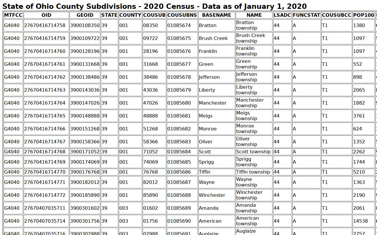
The geography display is not a USPS delivery map. Use it to keep the Painesville Township and City labels distinct while the postal lookup confirms a precise mailing ZIP.
Painesville Township Address Lookup
Lake County GIS maintains the authoritative address-point repository used for mapping, emergency services, and address work. Start a Painesville Township check in LakeNavigator with the street address, then confirm the parcel PIN in the Auditor roll. Finish with USPS ZIP Code Lookup for the delivery city and ZIP. This sequence avoids treating a generic ZIP map as an official Painesville Township property or jurisdiction record.
| USPS field | When it is needed | What it confirms |
|---|---|---|
| Street Address | Address mode | The requested delivery address, paired with city/state or ZIP. |
| City and State | City/state mode | A postal locality search, not a Township boundary filter. |
| ZIP Code | ZIP-to-city mode or address mode | Recognized or recommended city information. |
| Company or Apt/Suite/Other | Optional | Extra address precision when applicable. |
Lake County GIS data downloads are pictured below. The County lists address points and road centerlines, useful sources when a parcel and a postal result need to be reconciled.
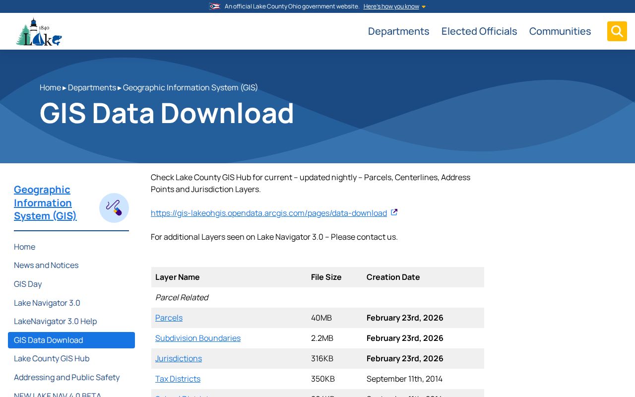
These datasets support Painesville Township address accuracy. They do not turn a postal ZIP into a list of people at every matching address.
Painesville Township Property Records
The Lake County Auditor Basic Property Search includes a five-character Postal Code field. It can narrow a Painesville Township parcel query, but the Auditor does not describe it as a ZIP-wide export or a municipal filter. Pair it with a street, owner, or Parcel ID when possible, review the result as a property record, and preserve the PIN and legal description for any later deed work.
| Auditor search field | Format | Useful postal-search role |
|---|---|---|
| Postal Code | Optional five-character text | Narrows a parcel query; it is not boundary authority. |
| Address No. and Street | Split text fields | Anchors a postal result to a specific property. |
| Parcel ID | Up to 20 characters | Connects the record to GIS, tax-map, and deed sources. |
| Owner | Full or partial name, wildcard allowed | Finds property records, not a list of present occupants. |
Lake County Tax Map resources are shown below. The historic atlas, survey, plat, and road-record links are land context, especially where a ZIP filter alone produces an unclear property trail.
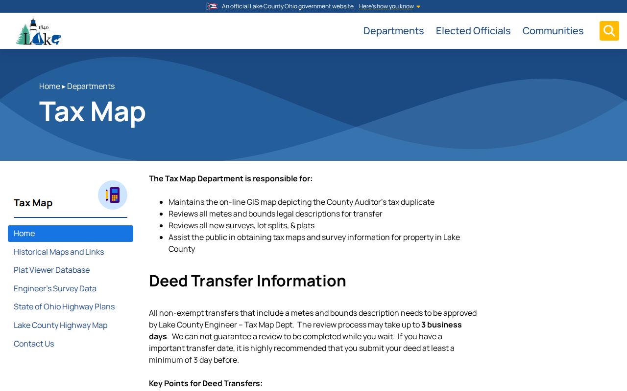
Tax-map sources can confirm Painesville Township lot and survey context. They do not define a USPS ZIP boundary or prove who occupies a parcel.
Search Painesville Township by ZIP Code
A ZIP-based search can narrow a property search without turning it into a resident roster. Use the postal result as one filter, then let the address and parcel record do the identifying work. LakeNavigator documents universal search for address, owner, or PIN, rather than a public ZIP browse. The Ohio voter form begins with a person’s first name, last name, and county, not a ZIP field.
- Enter the complete address in USPS and save the recommended postal city and ZIP.
- Run the Auditor search with the Postal Code field and a street or address field when available.
- Open the matching parcel in LakeNavigator and record the situs address, PIN, jurisdiction, and legal description separately.
- Use the Recorder deed reference only after the parcel is pinned down, then compare the legal description across documents.
- When a ZIP has narrowed the area to a named street, use the Painesville Township street directory for the full address-record sequence.
Do not convert an Auditor result into a claim about every household member. The roll is built around parcels and related tax fields, not a current household census.
LakeNavigator’s documented universal search accepts a parcel PIN, owner name, or address. Its public help does not describe a ZIP-code browse, even though the County’s parcel schema includes location, owner, and taxpayer ZIP attributes. That difference matters: a field stored in the parcel data does not prove that the map viewer offers a public ZIP directory. Keep the postal filter in its proper role, then use the returned parcel’s own fields and source links to confirm the record trail.
Painesville Township Parcel Records
County parcel data intentionally separates location ZIP, owner ZIP, taxpayer ZIP, situs address, and legal description. A Painesville Township non-44077 mailing field may simply show where an owner or taxpayer receives correspondence. It is not a contradiction, and it is not proof that the named owner lives either at the property or at the mailing address.
- Situs address
- The physical property location used in the parcel roll and map.
- Mailing or tax address
- The address used for tax correspondence, which may be elsewhere.
- Legal description
- The lot, subdivision, or survey-based land identifier used through deeds, plats, and surveys.
- ZIP+4
- An added delivery detail after the five-digit ZIP; it is not a municipal boundary.
- PO box or unique ZIP
- A postal designation that can serve boxes or a single organization and must not be presumed to describe nearby Township streets.
- Carrier route
- A delivery-routing label, not an ownership or residency category.
Note: Read each parcel field by its label before comparing addresses or ZIPs from different record systems.
Painesville Township Jurisdiction Records
The key mismatch is local and straightforward: Painesville Township and the City of Painesville are separate jurisdictions that share a Painesville, OH 44077 postal format. County offices use the same format, too. Postal geography handles delivery; the Auditor and GIS identify Painesville Township parcel location and jurisdiction. A postal reference should therefore treat city, Township, and postal city as distinct labels that may all appear during one search.
Lake County GIS provides the interface shown below. Its public map and address work are the appropriate local checks when a postal result and a jurisdiction question need to be separated.
GIS information can connect an address to its parcel and jurisdiction. USPS remains the source for the postal delivery label.
Painesville Township ZIP Code Gaps
No authoritative Township-boundary ZIP table found in the research confirms 44060 as a defined Township service area. The Lake County General Health counter is in Mentor 44060, but an office address does not establish Township coverage. The research also found no authoritative source confirming Township street delivery under Grand River PO box ZIP 44045. These are unresolved coverage claims, not grounds to widen the directory’s ZIP list.
For an edge address, ask USPS for the delivery ZIP, verify the parcel in County GIS, and then read the jurisdiction field. Until an official County ZIP polygon or address-by-address postal export supports a broader claim, 44077 remains the verified Township postal reference. This approach also avoids a misleading shortcut: a nearby postal city, County service counter, or mailing label can be useful for navigation, but none independently defines a Township street-delivery area.
Painesville Township ZIP Search Limits
Some official tools contain ZIP fields but are not Painesville Township resident directories. Ohio My Voter Information has no initial ZIP field and is for individual Painesville Township name-and-county registration or precinct confirmation. The state offender search describes limited supervision or violator last-address information, not a current household record. Ohio unclaimed funds uses city and ZIP only to narrow a claims search.
Lake County Board of Elections is shown below because its public services connect voters to registration, precinct, polling-place, and county-specific lookup tools.
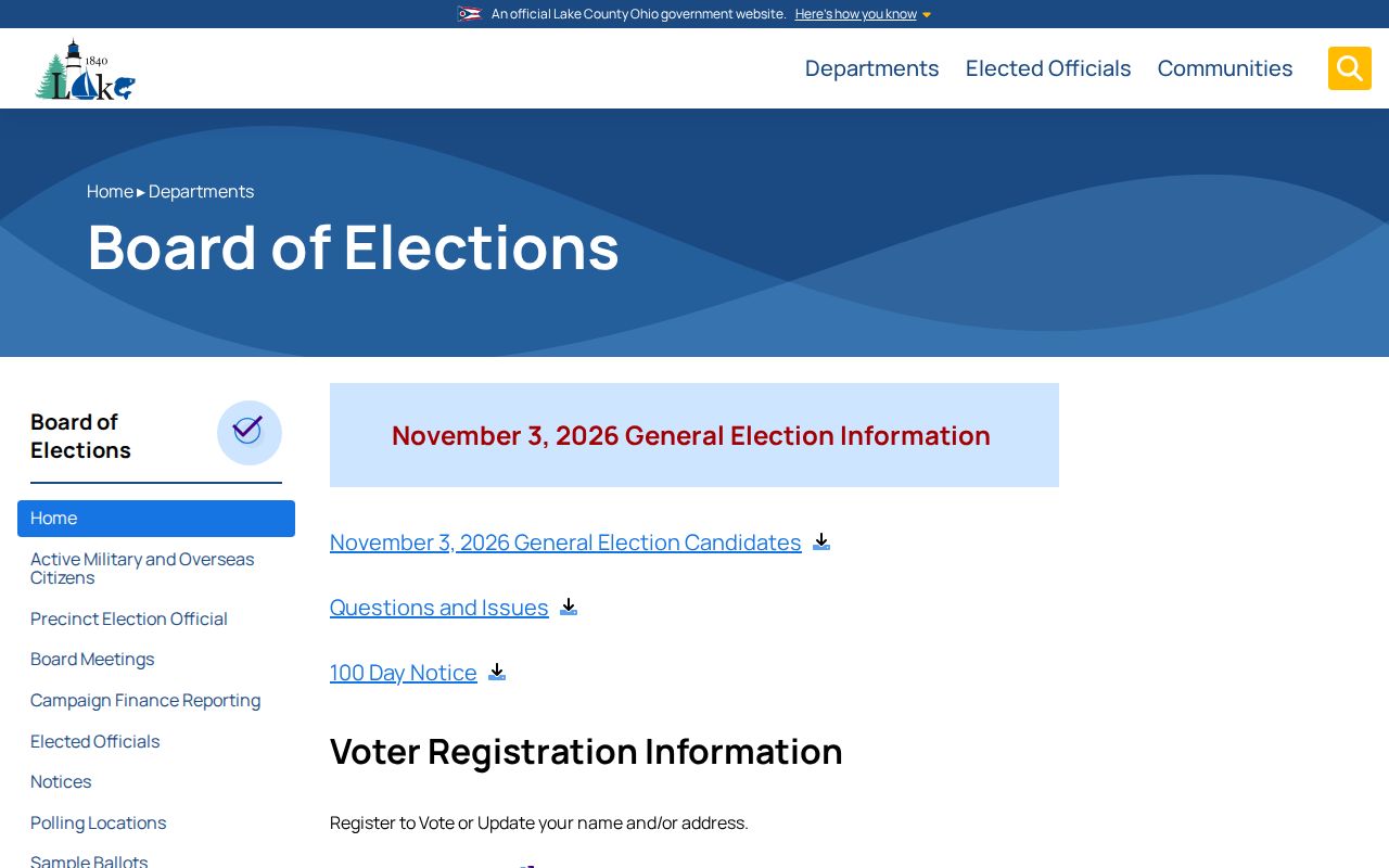
Use voter resources to confirm one known registration when lawful, not to browse a ZIP for people or contact information.