
Painesville Township Neighbors Record Sources
The available Painesville Township sources describe land, official records, or civic contacts. None is a verified roster of everyone living on a block. LakeNavigator maps parcel boundaries and records links. The Auditor returns parcel and owner fields. Tax Map sources help test whether lots actually touch. Ohio’s voter tool confirms an individual known registration under its rules, while Township contacts and local history institutions offer public community context. Treat each source as evidence for its stated purpose.
| Block source | What it shows about a block | Access |
|---|---|---|
| LakeNavigator parcels | Adjoining parcel boundaries, PIN, legal description, and linked records where populated. | Free map viewer and County help. |
| Auditor property roll | Parcel results, owner field, situs, tax or mailing fields, and assessment data. | Free property search. |
| Tax Map, plats, and surveys | Lot, subdivision, parent-parcel, and historical map context. | County Tax Map and GIS links. |
| Ohio voter lookup | One known voter’s registration or precinct check when public. | Name plus County search, then a conditional street choice. |
| Township and History Center contacts | Civic records, meetings, maps, and historical context. | Official contact or research-request route. |
For Painesville Township neighbors, an owner field is not a statement that the owner lives at the parcel. A mailing or tax field may be somewhere else, and household membership is not established by the property roll.
Painesville Township Block Records
The verified Painesville Township County method is manual and geographic. In LakeNavigator, search the target address, owner name, or parcel PIN. Choose the parcel result or click the map, zoom until the adjoining boundaries are visible, and click each contiguous parcel individually. Use the Tax Map, plat, or survey links where they appear to test whether lots are truly adjacent. County guidance does not document a dedicated adjacent-parcel, radius, buffer, or select-neighbors button.
- Search the known address or PIN, using less street information if LakeNavigator suggests more choices.
- Open the target parcel popup and record the PIN, situs address, legal description, and any supporting links.
- Zoom out just enough to see parcel boundaries, then click each contiguous parcel rather than assuming every house on a street is a neighbor.
- Check a plat or Tax Map source when the lot pattern or subdivision boundary is unclear.
- Use the Auditor record to read owner and tax fields by label. For a whole named street, move to the Painesville Township street directory workflow.
LakeNavigator supports universal search for PIN, owner, and address, along with parcel map clicks. Viewer layers and widgets can change, so this process relies on the documented search-and-click functions rather than a button name that has not been verified.
Painesville Township Parcel Boundaries
Use Painesville Township lot lines, not street order, to define a Painesville Township block. Lots on the same street can be separated by another parcel, a rear line, a different subdivision, or a road boundary. LakeNavigator gives the first map view, while Tax Map records add plats, surveys, and site-plan references. A survey for a split can be filed under the parent parcel number, so keep both the current PIN and any parent or out-parcel number when the lot history is complicated.
The Painesville Township GIS parcel schema includes map or property number, acreage, legal description, location components, deed references, and links to tax-map and survey material. Those records show land relationships. They do not show who is present in a household on a given day.
Painesville Township Parcel Records
Painesville Township parcel fields have different meanings. The situs or location address identifies the physical parcel. A deeded-owner field names the owner recorded in the parcel system. Owner-address and taxpayer-address fields show correspondence details. The legal description identifies land across deeds, plats, and surveys. A record may also show sale data or a deed number. Keeping those categories apart prevents a common error: converting a mailing field or a recorded owner into a claim about a resident.
| Field family | What it is | What it is not |
|---|---|---|
| Situs or location address | The parcel’s physical map and roll address. | A list of everyone at the property. |
| Deeded owner | The recorded property-owner field. | Proof of current occupancy. |
| Taxpayer or mailing address | Where tax correspondence is sent. | Proof that the taxpayer lives at the parcel. |
| Legal description and PIN | Land identifiers that follow the parcel through records. | A personal contact record. |
| Deed or sale reference | A link to a recorded land event. | A household-membership record. |
Note: Label owner, situs, and mailing fields exactly as the County record does before comparing nearby parcels.
Painesville Township Street Records
The Auditor Basic Property Search is the verified Painesville Township route for a named-street parcel list. Its Street field accepts a wildcard, and County instructions give an example of using an asterisk with a street term to return all addresses on that street. Omit the street suffix for the best starting search, then sort results by Parcel Address when useful. This can identify property records along a street, but it does not settle physical adjacency. Return to LakeNavigator to determine which parcels actually touch the target.
The Painesville Township Auditor returns ten, fifteen, twenty, or twenty-five results per page, with sort choices including Parcel ID, Owner Name, Parcel Address, and Unit or Building. A street search is therefore a careful cross-check, not a map scrape or a full neighbors roster. Capture the property record only after the search result has been matched to the correct parcel.
Painesville Township Voter Records
Ohio My Voter Information is not a Painesville Township browse-by-block tool. Its public form requires first name, last name, and county, then can ask for a street choice after an initial result. It is appropriate for verifying one known voter registration or precinct when lawful. It does not promise a public list of everyone on a Painesville Township street, and the County Board of Elections should handle a question that the form does not resolve.
ORC 3503.13 protects or excludes Social Security and driver or state-ID numbers, telephone numbers, email addresses, confidential voter records, certain protected public-service-worker addresses, proof of citizenship, and other barred information. The Ohio DATA Act route does not erase those protections or make publication of a neighbor list appropriate.
Painesville Township Community Contacts
No official Painesville Township neighborhood-association or HOA member directory was found. The useful Painesville Township public replacement is a small group of real custodians and historical resources. These contacts can help with a specific Township record request, a meeting or resolution question, zoning context, or historical research. They are not substitutes for private membership lists.
| Public resource | Community context | Contact or access |
|---|---|---|
| Painesville Township Administrator | Administrative records, resolutions, meeting material, and non-indexed Township address records. | 55 Nye Road, 440-352-1443; counter, phone, mail, fax, email, or specific request. |
| Painesville Township Zoning | Zoning map, certificates, applications, and concerns for a specific address. | 55 Nye Road, 440-352-1443; request a file when no online index exists. |
| Lake County Historical Society | Period maps, old telephone directories, surname files, local ownership histories, and Heritage Home context. | 415 Riverside Drive, 440-639-2945; research contacts may involve fees. |
| Morley Library | Directories, obituaries, and local-history materials for historical research. | Appointment-only Genealogy & Local History Room and research-request channels. |
The Historical Society holds more than 3,000 surname files, old telephone directories, hundreds of period maps, and a Heritage Home Story Map for more than 400 county homes. That material adds place history to a block question without being a contemporary neighbor directory.
Painesville Township Records Compared
Official Painesville Township records are tied to a defined custodian and a stated field or purpose. Commercial neighbor products can combine public and commercial material, but may be stale, merge namesakes, or omit distinctions between land ownership and occupancy. Neither category establishes all household members, and no product removes the need to respect a protected record.
| Source category | Best use | Limit |
|---|---|---|
| County GIS and Auditor | Parcel identity, lot geography, owner and tax fields as labeled. | Not a current household roster. |
| Recorder and Tax Map | Land history, legal descriptions, plats, and transfers. | Recorded party does not prove present residence. |
| Official voter tool | One known registration or precinct check when public. | Not a block-browse service. |
| Commercial neighbor category | A lead requiring careful verification. | Can be incomplete, conflated, stale, or inconsistent with protected records. |
Painesville Township Neighbors Privacy Limits
Some information should be absent. Ohio Safe at Home protects qualifying participants through a substitute-address program and can support a real-property confidentiality notice. If an address is masked, designated, or omitted, do not look for alternate ways to recover it. Voter confidentiality and protected public-service-worker address rules also limit public disclosure. Utility, delivery, and undisclosed household data are not general public sources.
Ohio Safe at Home protections are shown below. The program is a safety boundary, not a research obstacle to overcome.
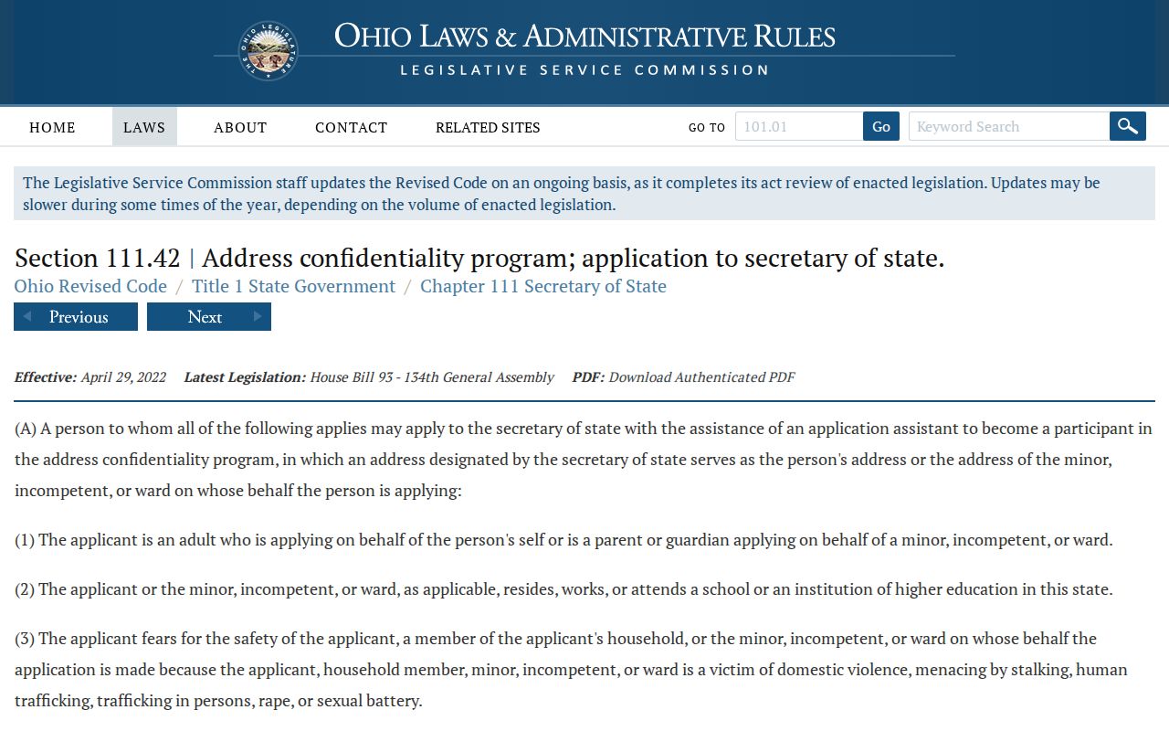
When a Painesville Township record is protected or redacted, accept the custodian’s limit and use only information lawfully released for a specific purpose.
Painesville Township Safety Sources
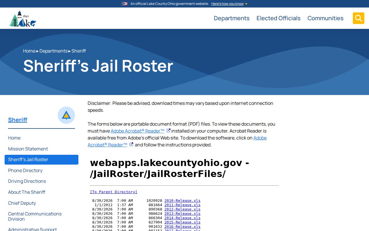
Painesville Township public-safety databases are specialized tools, not a way to build a neighbor directory. The Lake County Sheriff’s jail page links dated roster and release files rather than a live resident search. Custody information changes quickly and does not establish a current home address. It should not be blended with parcel information to make a block list.
Lake County Sheriff roster information appears below. Its dated-file format illustrates why a roster needs to be read only within its custody-record purpose.
The Ohio Attorney General also describes a specialized public safety registry with name, county, ZIP, and address-radius functions. It is subject to statutory exclusions and is not a broad resident list.
Ohio Attorney General safety registry information is pictured below. Use such a channel only for its defined personal-safety purpose, not to identify or pursue unrelated neighbors.

For immediate danger or a concern about stalking or harassment, contact emergency services or local law enforcement rather than extending a records search.